![]()
Lake Champlain Basin Atlas
![]()
Lake Champlain Basin Atlas
The Atlas is perfect for classes learning about Lake Champlain, or for student reports and projects. Be sure to check the Resources page for fact sheets and other materials.
To learn more about any of the topics in the Atlas, call or visit the LCBP Resource Room at ECHO! The room features exhibits, hands-on activities, computer stations, a library of Lake and Basin information, educator resources, technical documents, and more. Special for students and educators: free Resource Room passes (does not include admission to ECHO) are available to visit the room for research. To obtain one, call the Resource Room in advance to schedule an appointment at (802) 864-1848 ext. 109.
Educators will also want to check out these resources for learning about the Lake Champlain Basin and water quality in general:
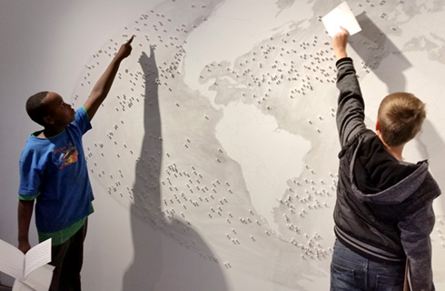
The Lake Champlain Basin offers a variety of fun and engaging opportunities to take learning outside. These sites can focus on a specific subject, or can be jumping-off points for exploring the issues, processes, and perspectives that define and challenge the watershed.
Follow CBEI educators to sites they have visited in the Great Places to Learn story map. Get involved with solving real problems as you grapple with the complexities of local places!
Interested in making your own web maps? ArcGIS Online is a great way to get started. Free accounts are available for many students and educators. Most maps in the Atlas include links to the original data on the LCBP’s ArcGIS Online page.
You can also still fill in good old-fashioned paper maps. Visit the Blank Maps page for maps you can color, label, or otherwise get cartographically creative with.
A number of teachers have developed web maps related to learning in Lake Champlain as part of CBEI workshops or independently.
Population growth can lead to increased stormwater runoff, but homeowners can help to prevent pollution.
Learn More →

Thoughtful land use planning can help to reduce the impacts of flooding on growing communities.
Learn more →

Sustainable economic development is a priority in the Lake Champlain management plan Opportunities for Action.
Find out more →
© 2026 Lake Champlain Basin Program
LCBP is a program partner of
![]()