![]()
Lake Champlain Basin Atlas
![]()
Lake Champlain Basin Atlas
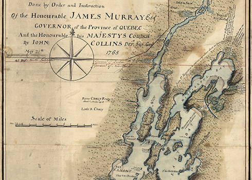
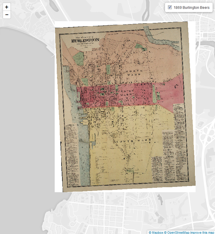
Maps of Lake Champlain and its environs have been created since the earliest years of European exploration of the North America (and prior to that by Native Americans). These maps were both works of art and technical marvels of their day. The maps of our region span the full range of mapping technology and skill, from rudimentary sketches to highly detailed, satellite-enabled maps of the present. Samuel de Champlain’s maps, created for the King of France, were the most accurate of their time and were critical to France’s policy for settling New France in the early 17th century. Similarly, watershed management and public policy today often rely on the most up-to-date, accurate maps of land cover and elevation.
The LCBP has georeferenced several of these maps and overlaid them on modern interactive web maps. Explore and compare landscapes of yesterday and today with this historic maps map!
View a gallery of historic maps >>

Today’s highly accurate digital maps are used to help protect water quality in the Basin.
Learn More→

Historic maps are lenses into the cultural heritage that the Champlain Valley National Heritage Partnership works to protect.
Find out more →
© 2026 Lake Champlain Basin Program
LCBP is a program partner of
![]()